
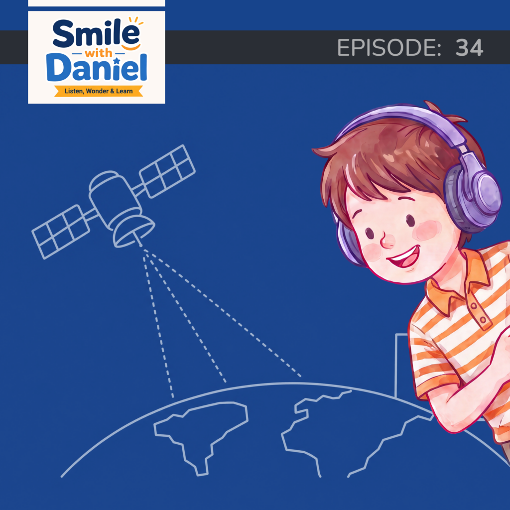

GPS is operated by the United States Air Force and available free of charge to anyone on Earth. The system works through a constellation of satellites transmitting precise timing signals. A receiver determines its position by calculating how long signals from multiple satellites took to arrive, using the differences to triangulate location. Signals from at least four satellites are needed for accurate three-dimensional positioning. The system was originally military and opened to civilian use progressively, with a significant expansion following the 1983 Korean Air Lines disaster and further opened to full civilian precision in 2000 when selective availability was switched off.
Daniel and Mom examine how GPS works at a technical level, why four satellites are needed, how the system moved from military to civilian use, and why the United States provides it globally for free.

Daniel is nine. He asks the questions, refuses to accept easy answers, and picks every episode topic himself.

Mom does the digging - finding the sources, checking the claims, and translating them into something a nine-year-old will actually sit still for.

GPS works by measuring how long timing signals from multiple satellites take to reach a receiver.
Signals from at least four satellites are needed to calculate precise latitude, longitude, altitude, and time.
GPS was built for military use and opened to civilian aviation after the 1983 Korean Air Lines disaster.
The US provides GPS free to the world at a cost of around $2 million per day to operate.
“Every time you navigate somewhere, you are using a military system that a government decided to give to the world for free.”